
Explore the Alaska Wildfire Map: Current Conditions and Air Quality
Alaska Wildfire Map: How to Track Fires, Smoke, and Air Quality in 2026
The alaska wildfire map gives you a real-time view of active fires, smoke plumes, air quality readings, and lightning across the state. As wildfire activity in Alaska is active as of mid-June 2026, this is the tool you need to stay informed and safe. Here is exactly how to use it.
Alaska Wildfire Map – Quick Start Guide
As of June 18, 2026, you can see active wildland fire locations, size halos, and recent lightning strikes across the entire state. Maps track fire perimeters, hotspots, and smoke forecasts across Alaska in near real time. The Alaska Wildfire Explorer provides an interactive look at current forest fires and air quality – it should be your first stop.
Here is how to get started:
- Search by community: Type a town name like “Healy,” “Fairbanks,” or “Anchorage” to center the map and see local conditions instantly
- Read the circles: Halos on the map represent fire size estimates, not exact perimeters – bigger circles mean bigger fires
- Grey icons: These show older or inactive fires that have not been updated recently
- Zoom in: At statewide view you see general halos; zoom closer for detailed perimeters and hotspots
Data comes from the alaska interagency coordination center, national park service, and other fire service partners. The Alaska Interagency Coordination Center offers an interactive dashboard series for wildfire management options, so you are getting official, regularly updated data.
Current Alaska Fires and Active Incidents (Today’s Situation)
As of June 17, 2026, there are 53 active fires across Alaska, and approximately 7,357 acres have burned this fire season. The Alaska wildfire season typically runs from late May to late July, and we are right in the ramp-up period now. Firefighters are managing multiple incidents across the state, and the AICC tracks numerous wildfires primarily triggered by lightning.
On the map, active fires look like this:
- Red/orange halo: Actively spreading fires with recent heat detections
- Orange outline: Contained but still hot – firefighters working to hold lines
- Grey markers: Fires not updated in over a week, or declared contained
Click any fire icon to see a brief info panel with the fire name, discovery date, cause (lightning vs human), acres burned, and the responsible fire management agency.
Key incidents right now: Interior Alaska is combating multiple fires including the Clums Fire. The Bulchitna Fire is estimated to be 1.5 acres. A 340-acre fire is located 20 miles west of Rampart. Active burning has been reported in tundra areas. The AICC situation reports give you the full daily breakdown.
Key 2026 Fires: Stampede Fire, Gagnon Coal Seam Fire, and Other Notable Incidents
This section highlights specific 2026 wildland fire incidents visible on the alaska wildfire map.
The Stampede Fire (Near Healy)
The stampede fire was declared contained on June 17, 2026. Firefighters completed grid search operations with no visible smoke wednesday and no heat detected. Remaining firefighters continue midday grid checks before transitioning the incident to “monitor” status. On the map, it now appears as a small grey halo marked “controlled.” Fire management zones coordinate wildfire response across Alaska, and this fire is a good example of how an incident moves from active to controlled to monitored.
The Gagnon Coal Seam Fire (Healy Spur Road)
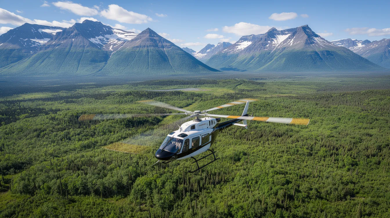
Discovered around 7:30 p.m. on June 17, 2026, the alaska division of forestry and fire protection led suppression here, assisted by Tri-Valley Volunteer Fire Department and Anderson Fire Department. Coal seam fires show less surface flame but persistent, long-term heat – on the map, expect a small dot with ongoing hotspots from sensors even after visible smoke fades. Specialized smokejumpers, hotshot crews, and aviation support including helicopters are required for several staffed wildfire incidents like these across the state.
Other Active Incidents
Lightning-caused new fires in western Alaska tundra and near national park service units continue to appear. The Alaska Wildland Fire Information platform provides daily updates on wildfires statewide.
Using the Alaska Wildfire Map: Layers, Legends, and Controls
The map is layered, letting you toggle between fires, smoke, lightning strikes, air quality, land cover data, and more. Here are the primary layers:
- Active wildfire locations and perimeters with halos for relative size
- Hotspots from satellite sensors (last 24–48 hours)
- Lightning strikes in the last 24–36 hours
- Current smoke plumes and air quality readings near communities
- Historical fire perimeters and projected flammability for context
- Vegetation and land cover types (tundra, boreal forest, shrub, wetlands) that influence fire behavior
Time controls let you do three things:
- “Now” view: Shows current fires and hotspots, updated daily
- Smoke forecast slider: See expected smoke and AQI for 6, 12, 24, and 48 hours ahead using forecasts from NASA’s modeling systems
- “Past & Future” mode: Step back through earlier weeks or view modeled future flammability
The legend uses orange for active fires, grey for old or inactive incidents, and colored circles for AQI levels. On desktop it stays visible; on mobile it collapses. Keep the layout clean – map first, details second.
Smoke, Air Quality, and Community Health Impacts
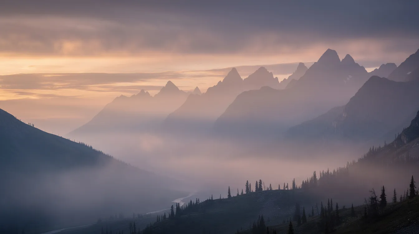
The alaska wildfire map is not just about fire – it is about smoke, air quality, and your health. Smoke from wildfires is a major air pollution source in Alaska. On average, one million acres burn in Alaska annually, producing massive smoke volumes that can drift hundreds of miles.
The map shows:
- Current smoke plumes detected across Alaska
- Air Quality Index values near communities like fairbanks, Healy, and Anchorage
- Smoke forecast layers for 6 to 48 hours ahead
The Air Quality Index measures pollution levels from PM2.5, and AQI values can indicate serious health problems from air pollution. Wildfire smoke can affect air quality for nearby communities even when no active fire is close. If AQI hits “Unhealthy for Sensitive Groups” or worse, limit outdoor exertion – especially for children, elderly, and anyone with respiratory conditions.
The alaska department of environmental conservation monitors these readings alongside federal sensors. Smoke from fires like the stampede fire or large interior wildland fires can show up on the map far from the flames themselves.
Past & Future: Historical Fire Data, Lightning Strikes, and Flammability
This section helps you understand not just what is burning now, but how Alaska’s fire history shapes current risk. Alaska’s wildfire season typically burns one million acres annually on average.
The “Past & Future” view lets you:
- See historical lightning strikes data covering 30 years from 1986 to 2015, showing ignition patterns that explain why interior Alaska gets hit hardest
- Explore historical fire perimeters from previous years – these help study the spread of new fires and understand landscape recovery
- View land cover types that drive fire behavior, including tundra, boreal species, and shrub vegetation
- Access data on historical modeled flammability available from 1950 to 2008, built using the ALFRESCO landscape model
These layers help fire managers and residents anticipate where new fires might be more likely during the rest of the 2026 season. Toggle them on, explore the game of patterns across the state – but remember, this map is informational. It does not replace official evacuation orders from local emergency management.
Agencies Behind the Alaska Wildfire Map and How to Report a Fire
The alaska wildfire map is powered by interagency cooperation. Here is who makes it work:
The AICC serves as the Geographic Area Coordination Center for Alaska. The alaska interagency coordination center coordinates initial attack resources, logistics, and predictive services for wildland fire management. It integrates data from federal, state, and local agencies to populate the map.
Key cooperating agencies:
| Agency | Role |
|---|---|
| Bureau of land management / blm alaska fire service | Federal fire suppression, initial attack squad deployment |
| Alaska division of forestry & fire protection | State-level fire response and support |
| U.S. forest service | Federal forest fire management |
| National park service | Fire protection on NPS lands |
| U.S. fish and wildlife service / wildlife service | Managing fires on refuge lands |
| Bureau of indian affairs | Fire resources on tribal lands |
| Local/volunteer departments | Community-level response |
Firefighters prioritize public safety in all fire management activities. Fire management includes planning, monitoring, and training year-round – not just during fire season. The AICC actively manages fires in several key areas of Alaska, and these agencies are committed to keeping you informed through released situation reports, updated page details, and real-time map layers.
To report a wildland fire:
- Call 911 for immediate emergencies
- Or call the statewide wildland fire reporting line: 1-800-237-3633
Bookmark the alaska wildfire map and visit it daily during fire season. Conditions change fast – what looks clear in spring can turn to smoke-filled skies by june. Combine the map with guidance from local emergency managers, and you will have the best situational awareness possible. Stay safe out there.