
Understanding the Strait of Hormuz Location and Its Global Importance
Strait of Hormuz Location – Map, Borders, and Global Oil Chokepoint
The Strait of Hormuz is one of those geographic features that most people only hear about when oil prices spike or military tensions flare. But understanding exactly where this narrow channel sits-and why it matters-can help you make sense of energy markets, Middle East geopolitics, and global trade patterns. Here’s everything you need to know about the strait of hormuz location, the countries that border it, and why it remains the world’s most important oil chokepoint.
Quick Answer: Where Is the Strait of Hormuz Located?
The Strait of Hormuz is located at the southeastern edge of the Persian Gulf, forming a narrow sea passage between southern Iran to the north and Oman’s Musandam Peninsula to the south. It connects the Persian Gulf to the Gulf of Oman, which then opens into the Arabian Sea and the broader Indian Ocean.
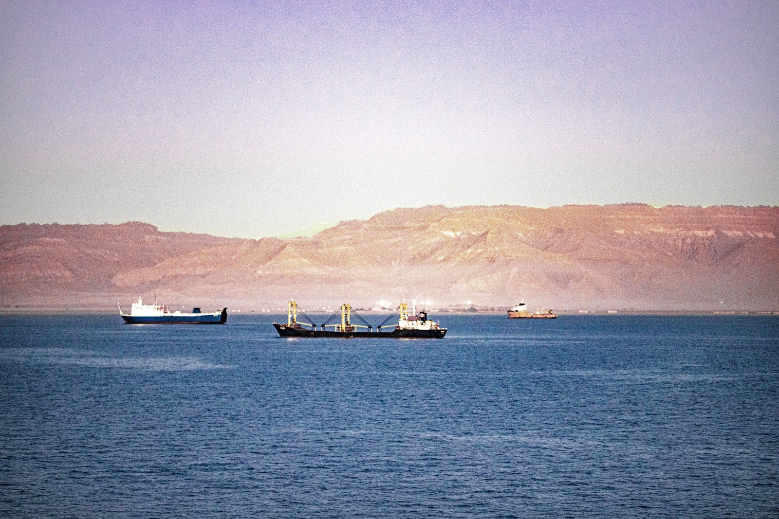
At its narrowest point, the strait is roughly 39 km wide-about 21 nautical miles, or between 21 to 35 miles depending on where you measure. Deep channels running through the center allow large oil tankers and LNG carriers to transit safely. Because all ships exiting the persian gulf toward the open ocean must pass through this strait, it functions as a critical chokepoint for global oil transport. The strait also serves as the primary route for exporting liquefied natural gas from producers like Qatar, making it an important oil chokepoint for energy flows worldwide.
Strait of Hormuz Map and Geographic Setting
A useful hormuz map for anyone researching the strait of hormuz location should highlight several key features at once: political boundaries, water bodies, shipping lanes, and strategic islands.
To the north, the map should show Iran’s southern coast with the port of Bandar Abbas prominently labeled. To the south, Oman’s musandam peninsula should be clearly marked, with the nearby UAE coastline visible to the southwest. The three connected water bodies-the Persian Gulf to the west, the Gulf of Oman to the east, and the Arabian Sea beyond-need distinct labeling so readers can trace how enclosed gulf waters reach the open ocean.
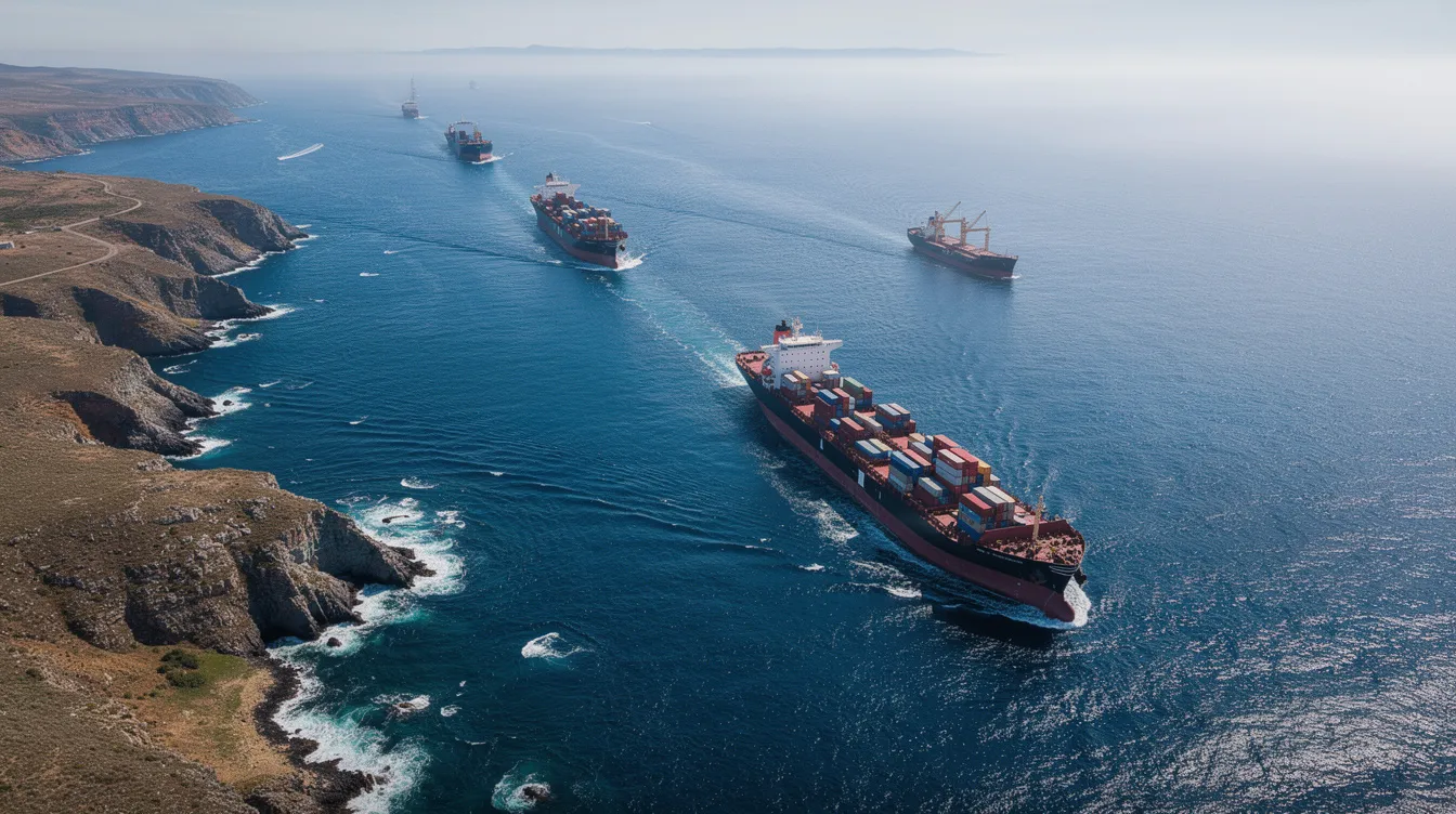
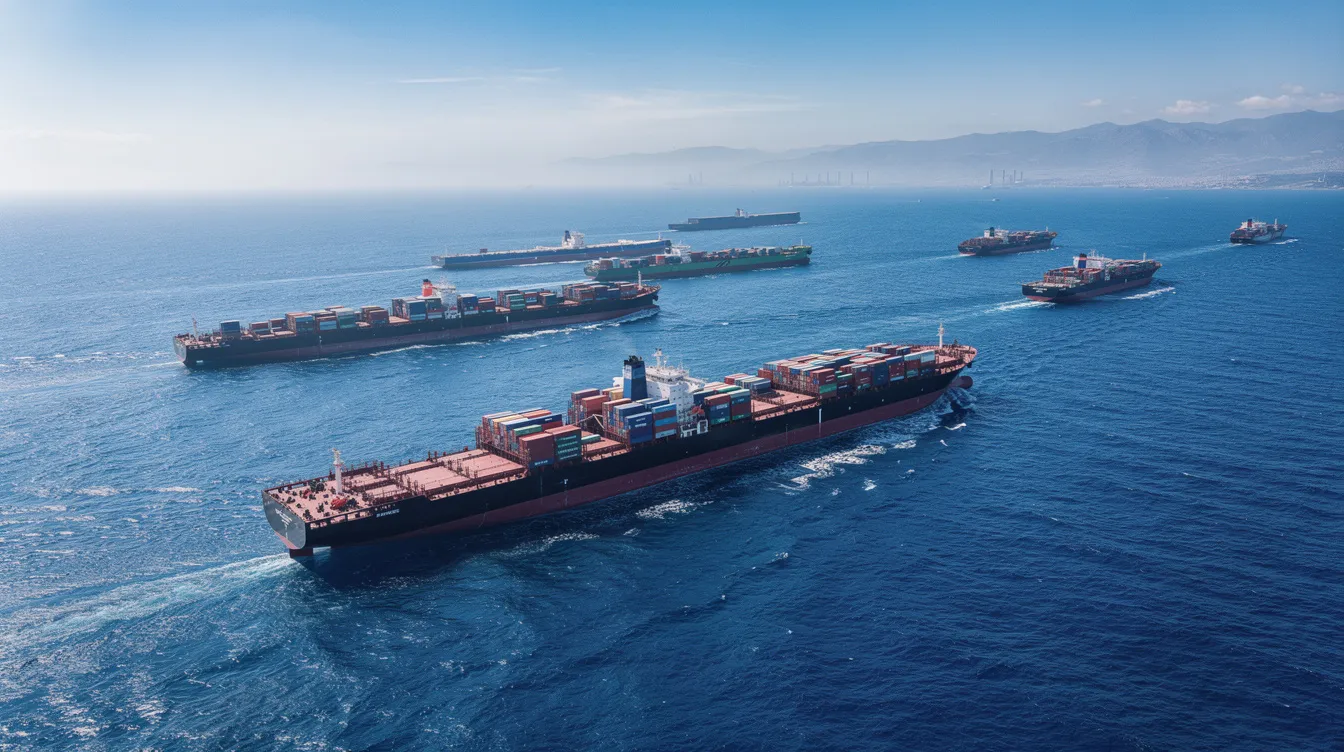
Ships follow a traffic separation scheme in the strait, with designated inbound and outbound lanes. Each shipping lane in the strait is approximately 3.7 km wide, separated by a buffer zone to reduce collision risk. A good map should show these main shipping lanes in contrasting colors-red and blue, for example-with a shaded corridor marking the narrow channel used by large commercial shipping vessels. It should also pinpoint major islands such as Hormuz Island, Larak Island, and Qeshm, all of which fall under Iranian control and sit near the deepest navigable waters (roughly 60–100 meters deep).
Which Countries Border the Strait of Hormuz?
Only two countries directly border the narrowest passages of the Strait of Hormuz, though other countries nearby heavily influence the region’s security dynamics.
Iran borders the strait to the north and Oman to the south. Iran’s coastline near bandar abbas-along with the islands of Qeshm, Hormuz, and Larak-gives Tehran significant oversight of vessel traffic through the strait. Iran also controls Greater Tunb and Lesser Tunb islands in the wider region. Oman’s presence comes through its Musandam Governorate, an enclave separated from mainland Oman by UAE territory.
The United Arab Emirates does not directly control the narrowest point but lies immediately to the southwest and plays a significant regional maritime role. Together, these countries border positions shape navigation rules, security protocols, and control over nearby shipping lanes and anchorages. Bahrain, Kuwait, Iraq, and Qatar also have stakes in the strait’s security as Persian Gulf exporters, even though their coastlines are farther west.
Key Water Bodies Connected by the Strait of Hormuz
The strait functions as a maritime bridge between the enclosed, shallow waters of the gulf and the open ocean beyond.
To the west lies the Persian Gulf, a marginal sea hosting the export terminals of Saudi Arabia, Iraq, Kuwait, Qatar, and the UAE. These nations collectively pump millions of barrels of crude oil daily from terminals that line the gulf’s western and southern shores. To the east, the strait opens into the Gulf of Oman, a deeper and rougher body of water that leads directly into the Arabian Sea and onward to the Indian Ocean.
This connection is what makes the strait’s location so consequential. Oil tankers and LNG carriers move from gulf export terminals through the strait to reach global markets-particularly asian markets in China, India, Japan, and South Korea. Over 82% of oil from the strait goes to Asian markets, according to U.S. Energy Information Administration data. Europe and other countries also receive significant volumes via this shipping route.
Nearby Cities, Ports, and Strategic Islands
Several nearby land features help pinpoint exactly where the strait is located and underscore its strategic importance.
| Feature | Location | Significance |
|---|---|---|
| Bandar Abbas | Iran’s southern coast | Main commercial port and naval base facing the strait |
| Hormuz Island | North side of strait, off Iranian shore | Historic fortress site; overlooks main shipping approaches |
| Larak Island | Southeast of Hormuz Island | Small but highly strategic; adjacent to the tanker traffic corridor |
| Qeshm Island | West of Bandar Abbas | Largest island in the Persian Gulf; defines the northern approach |
Bandar Abbas serves as Iran’s primary hub for both trade and military operations in the region. Hormuz Island, sitting near the iranian shore, is known for tourism and its strategic location overlooking vessels entering and exiting the strait. Larak Island, though smaller, lies close to the narrowest navigable lane and is used for surveillance. Qeshm, the largest island in the persian gulf, helps define the northern edge of the approach. Together, these islands give Iran a significant share of control over the strait’s chokepoint.
Why the Strait of Hormuz Location Matters for Global Oil and Trade
The strait sits between the petroleum-rich Persian Gulf and the Arabian Sea, making it the single most critical bottleneck for global oil and LNG transport. It is, by any measure, the world’s most important oil chokepoint.
In 2022, 21 million barrels of oil flowed daily through the strait-roughly 20% of global oil consumption and about one fifth of the world’s total petroleum liquids use. Roughly one-quarter of the world’s total seaborne oil trade passes through the Strait of Hormuz, along with roughly 20% of the world’s liquefied natural gas. The strait is also a major artery for the shipment of fertilizers and petrochemicals, further magnifying its role in global trade.
Because there is no direct alternative sea route out of the Persian Gulf, the location gives the strait outsized influence on global oil prices and energy security. Pipelines in Saudi Arabia and the UAE provide partial bypass capacity-about 2.6 million barrels per day combined-but that is a fraction of what moves by ship. Ports like Fujairah on the Gulf of Oman offer some relief, but the energy infrastructure simply cannot replace the strait at scale. Agencies like the energy information administration regularly publish flow estimates as a data source for tracking these volumes, given their strategic importance.
Military Tensions and Security Around the Strait of Hormuz
The strait’s strategic location near rival regional powers-particularly Iran-makes it a frequent flashpoint. Iran controls the Strait of Hormuz through its naval bases around bandar abbas, missile batteries on islands like Hormuz and Larak, and surveillance systems covering the shipping corridor. Iran has threatened to block the strait during conflicts, most recently amid the war that escalated in early 2026.
The U.S. Navy monitors the Strait of Hormuz for security, with the Fifth Fleet based in Bahrain conducting routine patrols in international waters to ensure freedom of navigation for oil tankers and commercial vessels. Partner navies from Europe and Asia have also contributed to escort and patrol missions.
Geopolitical tensions in the strait frequently cause immediate spikes in global energy prices. Even rhetorical threats to close the passage raise insurance premiums and create risk premiums across energy markets. These incidents-ship seizures, drone attacks, mine-laying concerns-have been widely covered by outlets including al jazeera and the washington post. In July 2023 alone, multiple tanker incidents drew global attention. The ongoing conflict has pushed daily flows down from 21 million barrels per day in 2022 to roughly 14.6 million barrels per day in early 2026, raising fears of a broader economic downturn tied to supply disruptions, according to IEA warnings.

FAQs: Strait of Hormuz Location and Maps
Here are concise answers to the most common questions about where the strait is hormuz located and how to interpret its geography.
Where exactly is the Strait of Hormuz located? The strait sits at the southeastern end of the Persian Gulf, between southern Iran to the north and Oman’s Musandam Peninsula to the south. It connects the Persian Gulf to the Gulf of Oman, which leads into the Arabian Sea and the Indian Ocean. At its narrowest, it spans just 39 km (about 21 nautical miles).
Which countries border the Strait of Hormuz? Iran borders the northern shore and controls several islands, including Qeshm, Hormuz, Larak, and Greater Tunb. Oman’s Musandam Peninsula forms the southern shore. The UAE lies nearby but does not span the narrowest point. These borders create complex legal and security dynamics around the strait.
How can I read a Strait of Hormuz map? Look for labeled country boundaries-Iran to the north, Oman to the south. Identify the three water bodies: Persian Gulf, Gulf of Oman, and Arabian Sea. Follow the designated shipping lanes (inbound and outbound), and note depth contours. The deepest central channels handle the largest vessels, while shallower coastal edges near the Iranian shore restrict navigation. Satellite imagery from mapping services can also help visualize tanker traffic density.
Why is the Strait of Hormuz considered an important oil chokepoint? Because roughly 20% of the world’s traded crude oil flows through the strait, along with a significant share of global LNG exports. There are no comparable alternative sea routes, and pipeline bypasses can only handle a fraction of the volume. Any disruption to transit through this narrow channel ripples immediately through energy markets worldwide.